October 12th, BeachSAMP Stakeholder Meeting
October 12th—-Livecast available at the Rhode Island Sea Grant YouTube channel DATE: Thursday, October 12, 2017 TIME: 6-8 pm LOCATION: URI Narragansett Bay Campus, Corless Auditorium (Building #2 on this […]
» Read moreBeach SAMP Stakeholder Meetings—Thursday, October 12, 2017 AND Thursday, October 26, 2017
Meeting #1 DATE: Thursday, October 12, 2017 TIME: 6-8 pm LOCATION: URI Narragansett Bay Campus, Corless Auditorium (Building #2 on this map) WEBCAST: Yes! At the Rhode Island Sea Grant […]
» Read moreCrafting the SAMP Document
Sound science, innovative tools, technical expertise and public input underpin the process for capturing the policies and practices that comprise the recommendations of the SAMP document now being drafted. Check […]
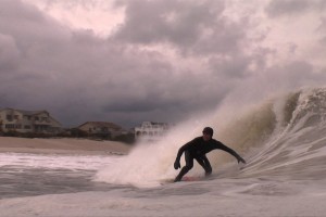
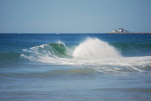
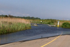
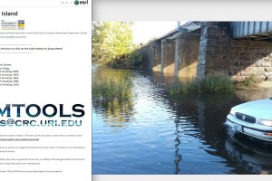
» Read moreKing Tides this Week: Help Chronicle our Changing Coast
Higher than normal tides are predicted this month. Head to the shore on May 24-27-and join the Rhode Island Coastal Resources Management Council, URI Coastal Resources Center, Rhode Island Sea Grant […]
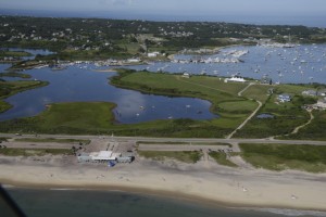
» Read moreFeaturing~Rhode Island e911 Exposure Assessment page
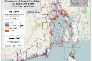
Take a look at the “e911” page, this page offers a summary of all exposed structures in each of the 21 coastal municipalities in Rhode Island within a variety of […]
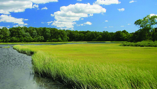
» Read moreNortheast Particularly Vulnerable to Rising Seas
FROM THE RI COASTAL RESOURCES MANAGEMENT COUNCIL May 16, 2017, WAKEFIELD – With new sea level rise projections from the National Oceanic and Atmospheric Administration showing the Northeast region, including […]
» Read moreBeach SAMP Stakeholder Meeting: December 1, 2016, 6-8pm
Next Beach SAMP Stakeholder Meeting: December 1, 2016, 6-8pm PLEASE JOIN US: RI CRMC Shoreline Change Special Area Management Plan (Beach SAMP) Stakeholder Meeting DATE: Thursday, December 1, 2016 TIME: […]
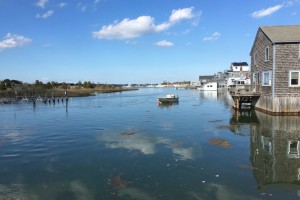
» Read moreCOASTAL FLOODING IN RHODE ISLAND: A Map Journal
Beach SAMP Stakeholder Meeting, December 1, 2016
PLEASE JOIN US: RI CRMC Shoreline Change Special Area Management Plan (Beach SAMP) Stakeholder Meeting DATE: Thursday, December 1, 2016 TIME: 6-8 pm LOCATION: URI Narragansett Bay Campus, COASTAL INSTITUTE […]
» Read more