New tool to protect coastal wetlands

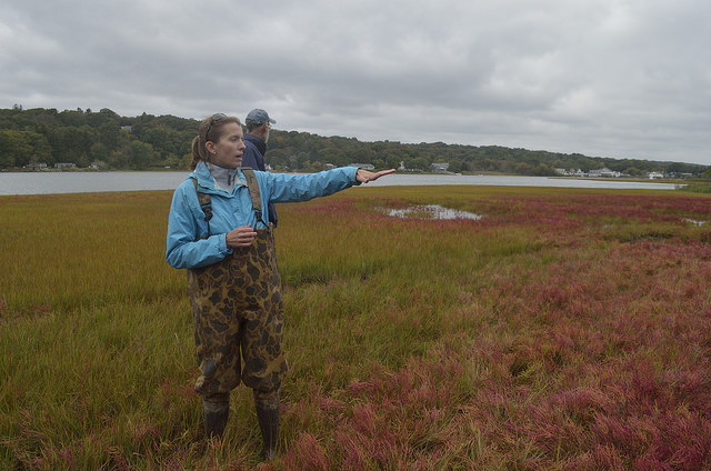
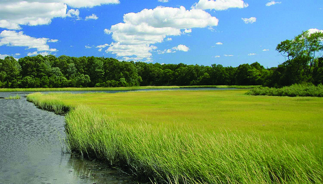
New maps are a key state tool for saving wetlands from flooding: Coastal wetlands protect communities from floods, an impact of storms and sea level rise related to climate change. […]
» Read more
New maps are a key state tool for saving wetlands from flooding: Coastal wetlands protect communities from floods, an impact of storms and sea level rise related to climate change. […]
» Read more
From EcoRI News The Sea Level Affecting Marshes Model, or SLAMM maps, “paints kind of a dire picture about the future of our existing marshes and I’m afraid that it’s […]
» Read moreRhode Island Sea Grant Coastweeks 2013 Events For the full list of events, view or download the Coastweeks 2013 brochure. Please note that these EVENTS are not Shoreline Change SAMP […]
» Read more